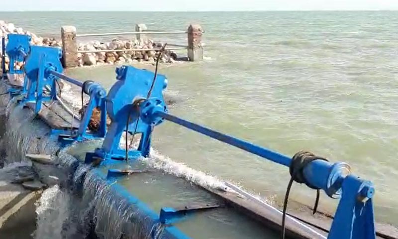
In order to restore normalcy and prepare the land for the Rabi crop, Chief Minister Syed Murad Ali Shah established committees on Monday under the supervision of the chief engineers responsible for overseeing and ensuring the disposal of floodwaters from cities and towns on the right and left banks of the Indus River.
The concerned district administrations would back the committees in their efforts to begin pumping out floodwaters.
He remarked that bringing camp residents back to their homes would be the only way to alleviate their suffering as he presided over a meeting at CM House here on Monday. When their neighbourhoods were free of floodwaters, he said, this would be doable.
Jam Khan Shoro, the irrigation minister, Sohail Rajput, the irrigation secretary, Zareef Khero, Mansoor Memon, the chief engineer (Scarp) of the Crops-5 Engineering, and others were present at the meeting.
The chief minister claimed to have been to every region of the province that had been impacted and discovered that the water had begun to recede. He urged developing a strategy to remove stagnant water and facilitate the return of internally displaced individuals camped out along major routes.
The CM was given a comprehensive presentation on the current state of the flood by Irrigation Minister Jam Khan Shoro and other relevant officials.
Floodwaters receding in lake, drains
They claim that the Indus River is flowing properly at the Kotri, Sukkur, and Guddu barrages. Manchhar Lake’s level has decreased from RL-23.3 to RL118.85. A fall of 9.4 feet and 7.7 feet, respectively, has been seen in the levels of the Dadu-Moro and Amri bridges.
On the Larkana-Sehwan bund, they claimed that one of the four cuts had been fixed. 114,010 cusecs are being discharged by the other three cuttings at Danister, Aral head, and Aral tail.
On the right side of the Sukkur Barrage, floodwaters had receded along the FP Bund by eight to eleven feet in the higher reaches of the Saifullah and Rice Canal divisions, while a four to seven foot decrease had been seen in the lower reaches of the southern parts of the Dadu division. Suprio Bund’s water level has also decreased by five to six feet.
At RD-194, RD 210, and RD-346, the Main Nara Valley Drain has decreased by 2.9 feet, 3,3 feet, and 11 feet, respectively. Shahdadkot and Miro Khan’s major drains’ water levels have also decreased by one to two feet, and the flows are now entering the RBOD-III.
Floodwaters had subsided by about five miles in Khairpur Nathan Shah and along the Ring Bund surrounding Mehar. Similar to this, there has been a 5.5 foot decrease in the water level in the Johi branch near RD-67 (KN Shah-Dadu Road). The most significant change is that Bhan Syedabad’s Ring Bund is being dismantled because a sharp decline in floodwater levels was seen along it.
Mr. Shah was informed that the breach at the FP Bund at RD-169 (Chukhi) had been sealed, but that the overall water level was decreasing in the upper regions of the talukas Qubo Saeed Khan, Shahdadkot, Qambar, Warah, and Nasirabad.


