
More Rainfall
The Pakistan Meteorological Department (PMD) reported that weak to moderate moist currents from the Arabian Sea were expected to penetrate the upper parts of the country from Friday.
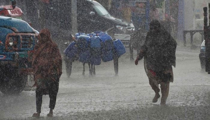
The Met Office also stated that a westerly wave was likely to impact the upper regions on September 22. This weather system would bring rain and thundershowers, including some moderate to heavy falls, to various areas from September 22 to 24, with occasional gaps.
The following areas can expect rain and thundershowers, including some moderate to heavy falls, from September 22 to 24, with occasional gaps:
- Kashmir (Neelum valley, Muzaffarabad, Poonch, Hattian, Bagh, Haveli, Sudhanoti, Kotli, Bhimber, Mirpur)
- Gilgit Baltistan (Diamir, Astore, Ghizer, Skardu, Hunza, Gilgit, Ghanche, Shigar)
- Murree, Galliyat, Islamabad, Rawalpindi, Attock, Chakwal, Jhelum, Mandi Bahauddin, Hafizabad
- Gujranwala, Gujrat, Sialkot, Narowal, Lahore, Kasur, Sheikhupura, Chitral, Dir, Swat, Shangla, Buner, Kurram
- Mansehra, Kohistan, Abbottabad, Haripur, Kohat, Peshawar, Mardan, Swabi, and Nowshera.
Furthermore, the following areas can expect rain and thundershowers from September 23 to 24, with occasional gaps:
- Lakki Marwat, Dera Ismail Khan, Bannu, Karak, Waziristan, Mianwali, Sargodha, Khushab
- Faisalabad, Toba Tek Singh, Jhang, Bhakkar, Layyah, Dera Ghazi Khan, Multan, and Bahawalnagar.
The Met Office cautioned that moderate to heavy rainfall could lead to urban flooding in low-lying areas of Lahore, Gujranwala, and Rawalpindi on Friday and Saturday. It also highlighted the potential for landslides in vulnerable areas from September 22 to 24.
The authorities advised farmers to appropriately manage their crop activities, while they urged tourists and travelers to exercise caution during this period.
Additionally, they warned the public about the potential for wind-thunderstorms to cause damage to loose structures such as electric poles and solar panels.